
Illustrierte Landkarten
Illustrated Maps
Gestalten Verlag Berlin
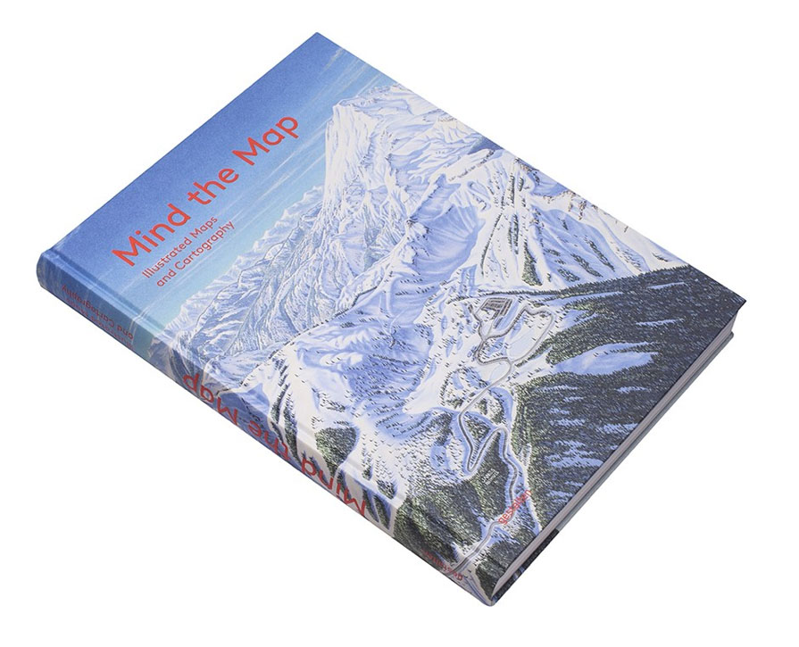
Buch: »Mind the Map: Illustrated Maps and Cartography«
in etwa: Vorsicht an der Landeskante: illustrierte Landkarten
Mit illustrierten Landkarten von Tom Eigenhufe
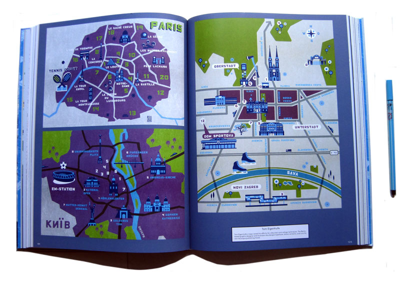
Die Gestalten Verlag, Berlin
288 Seiten, Englisch
Full color, hardcover, 288 pages
25,1 x 3 x 33,5 cm
ISBN-10: 3899555880
44,00 €
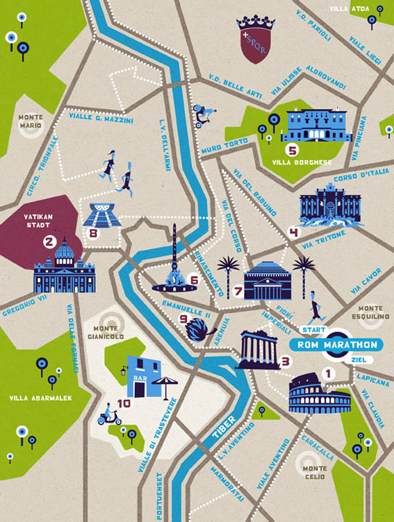
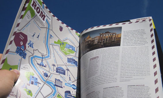
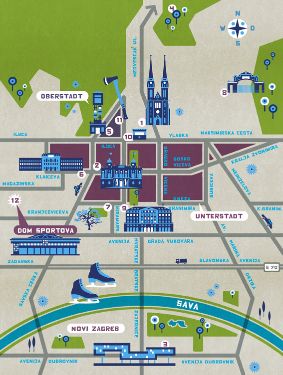
LOOX Sport Magazin, Berlin
Illustrierde Stadtpläne
Illustrated maps for the LOOX sports mag from Berlin
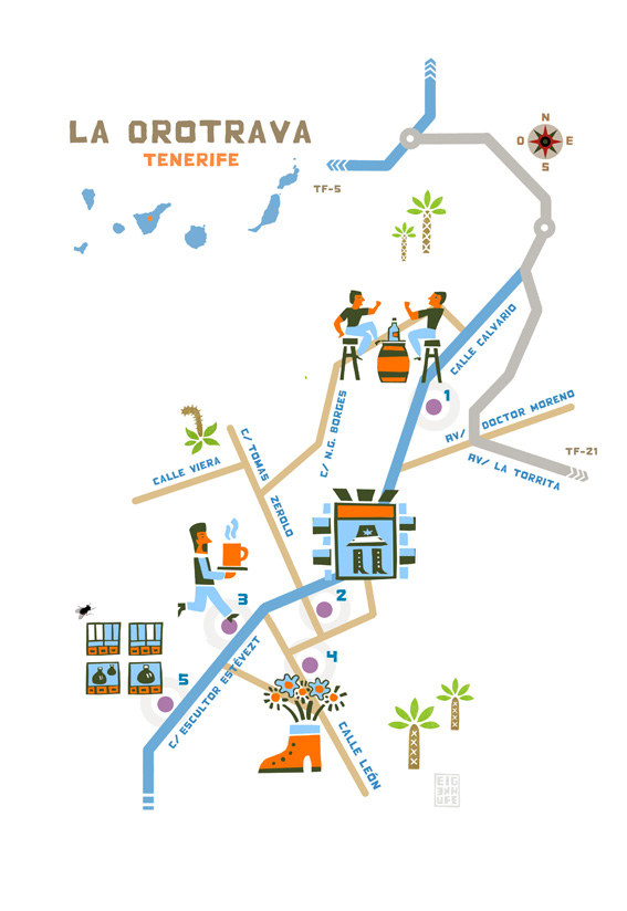
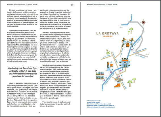
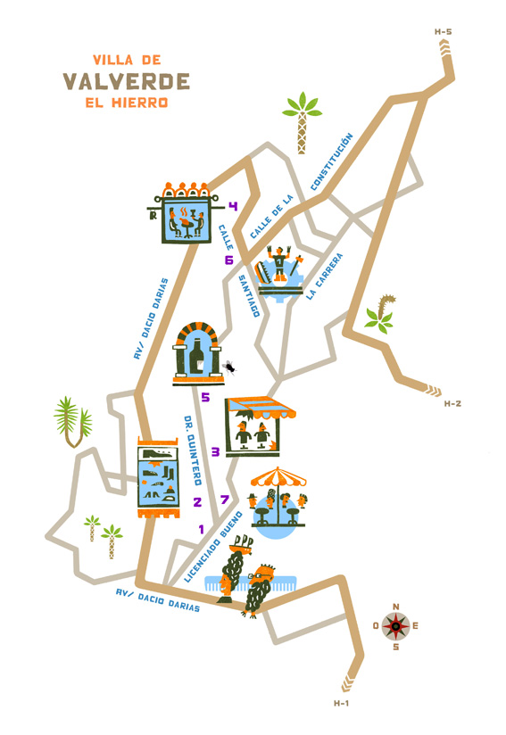
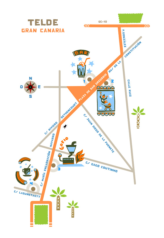
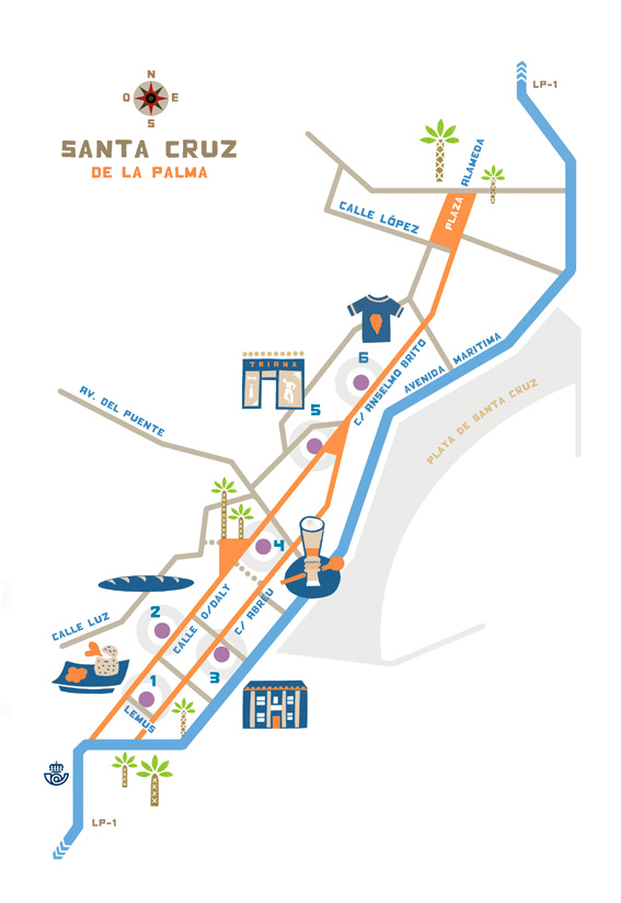
Illustrierte Stadtpläne für Binter NT
Das Magazin der Fluggesellschaft Binter Canarias
Illustrated maps for the inflight-mag of Binter Canarias

Viel mehr illustrierte Karten gibt es in meinem Blog!
Please go to my blog to see much more illustrated maps.